By Road
The most convenient way is to travel via road. Dooars has excellent network and condition of roads. On the way, you will also get to see beautiful and breathtaking views. There are many cab services available from neighbouring cities like Darjeeling and Siliguri. There are few state government buses also which connects Dooars to major cities.
By Train
The New Jalpaiguri Railway station is just few kilometres away from the town, it is one of the biggest railway stations in the city and is well connected to nearby cities as well as key cities of the country. Another station, Madarihat is just 7km away from the Dooars.
By Air
Bagdogra airport is the nearest to Dooars. It is a small domestic airport with flights running from the major cities of the country. Just 12kms from the town, taxies and buses are available from Bagdogra to Madarihat/ Dooars. Nearest Airport : BAGDOGRA - 83 kms.
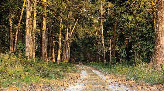
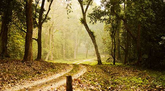
Chilapata Forest
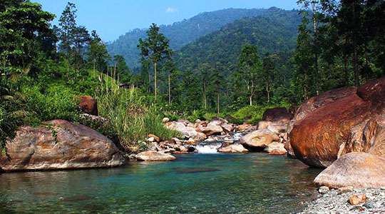
Jaldhaka
Suntalekhola
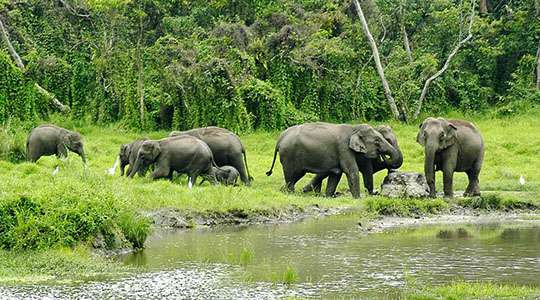
Gorumara National Park
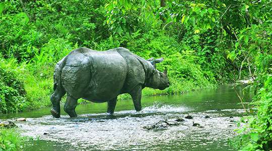
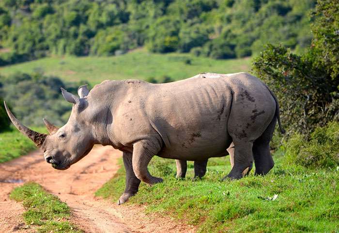
Jaldapara